GOSCARs – Nominations for 2024 Exciting News for NCE Members and Friends!
Nominations for the 2024 GOSCARs – the Grassroots Owen-Smith Community Ranger and CBO Awards – are officially OPEN!
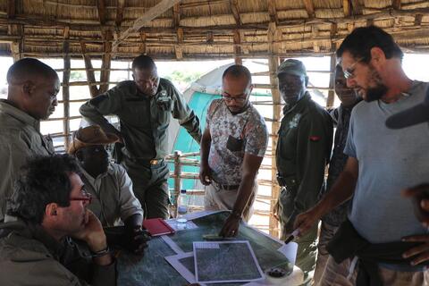
In the heart of Namibian community conservation, we celebrate the dedication and hard work of game guards, lion and rhino rangers, fish and community resource monitors, and outstanding community-based organisations. Your nominations shine a light on those holding the thin green line in the field, facing challenges like renewed poaching.